


Geosciences 2024, 14(4), 105; https://doi.org/10.3390/geosciences14040105 - 18 Apr 2024
Abstract
►
Show Figures
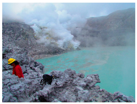
A possible impact crater at Mahout in Oman was recently proposed by Nasir et al. (2023 [1]). They alleged that “crater” morphology, shatter cones, shock metamorphic evidence in quartz, plagioclase, and calcite, as well as initial geochemical information and geophysical data
[...] Read more.
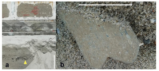
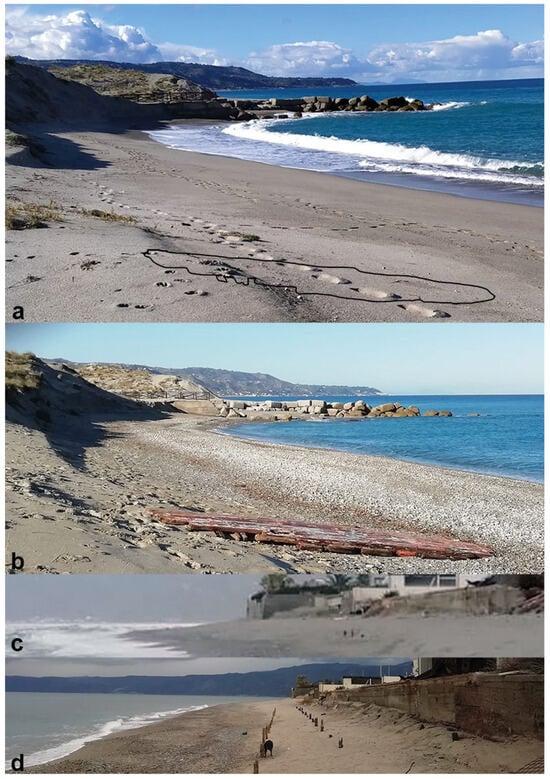
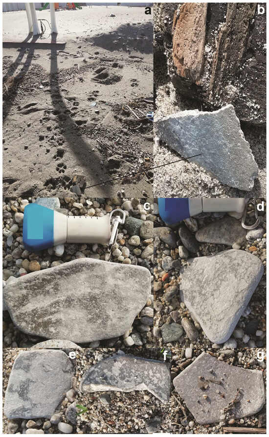
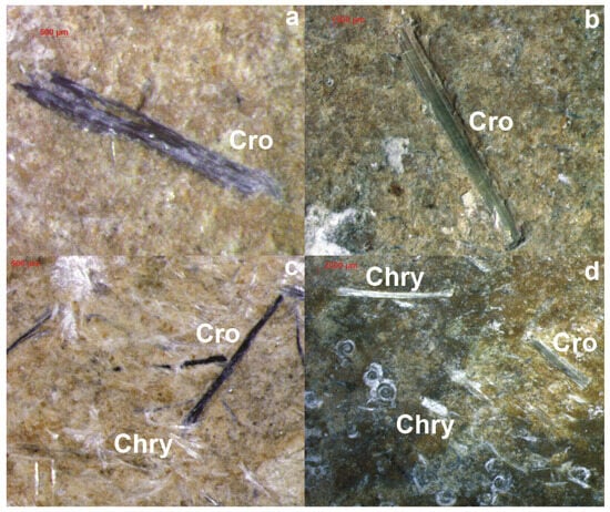
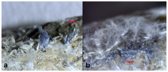
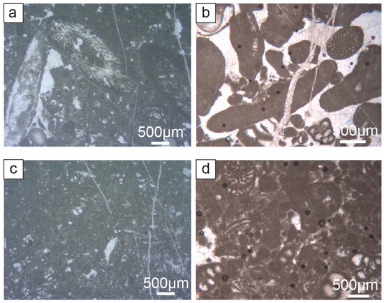
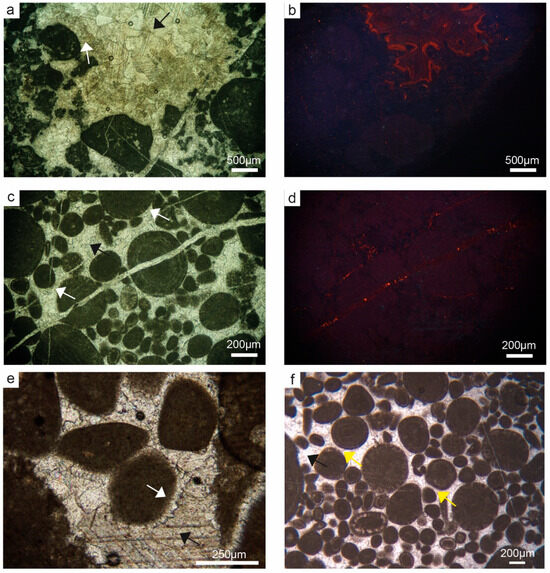
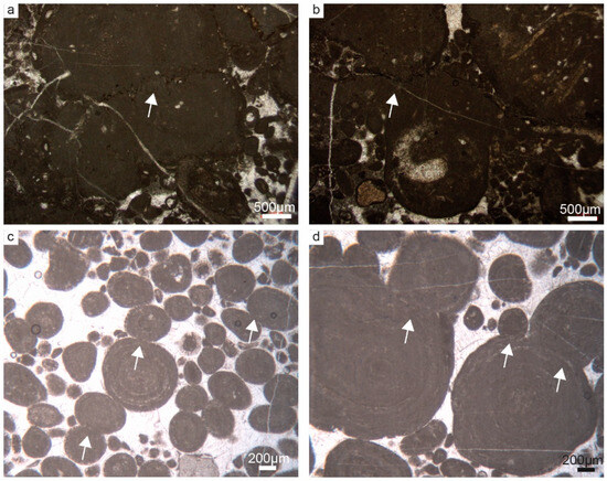
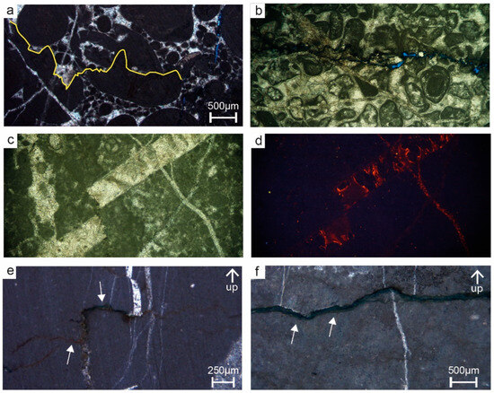
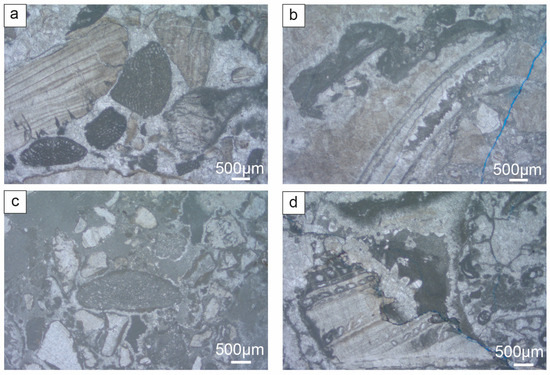
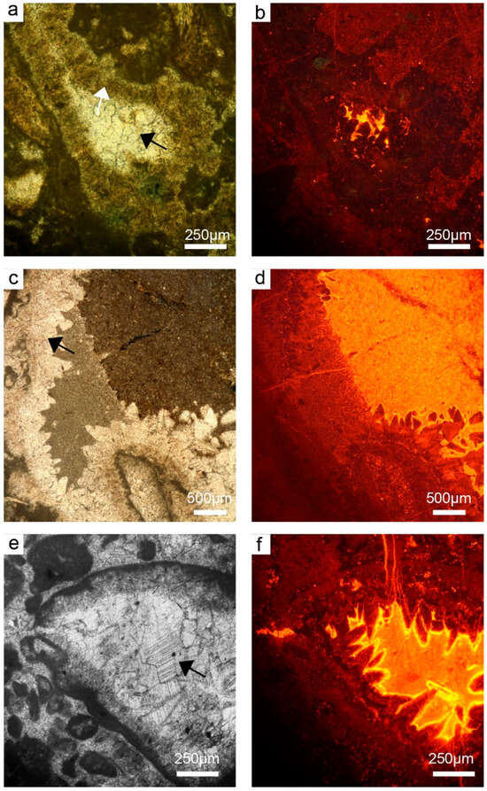
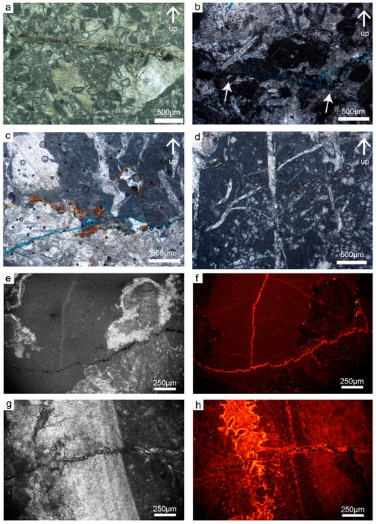
A possible impact crater at Mahout in Oman was recently proposed by Nasir et al. (2023 [1]). They alleged that “crater” morphology, shatter cones, shock metamorphic evidence in quartz, plagioclase, and calcite, as well as initial geochemical information and geophysical data supported this proposal. Their conclusion was that “All current analyses suggest the impact origin of the Mahout structure” (p. 20 of the article). In this Comment, their evidence is critically discussed and largely refuted. It is demonstrated that the basis to consider the Mahout structure a possible impact structure is very limited and that further detailed, state-of-the-art analyses of the mesoscopic and microscopic de-formation features are required to obtain credible evidence. Beyond the discussion of the article by Nasir et al., this Comment emphasizes the general need for careful and comprehensive analysis of the geological structures that might, a priori, suggest a possible impact origin if, ultimately, a new impact structure can be successfully confirmed.
Full article
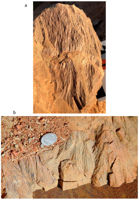
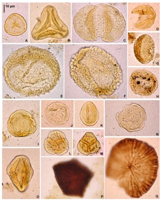
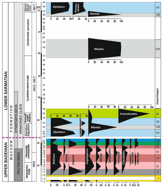
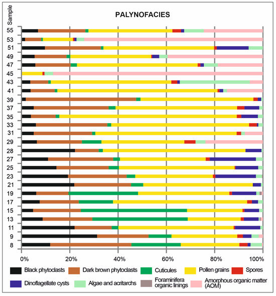
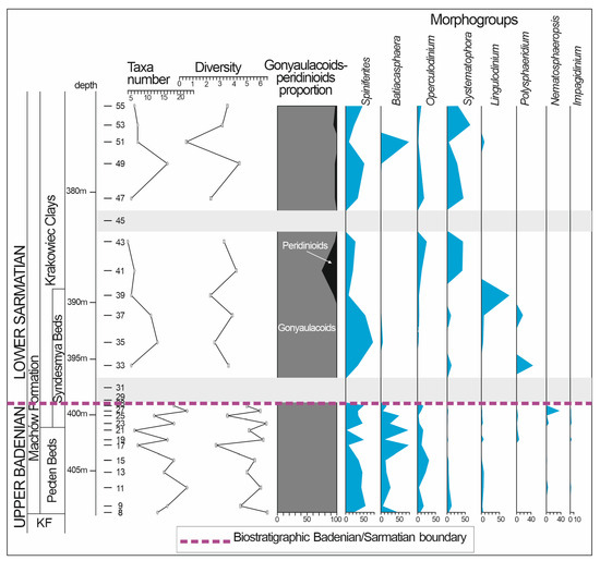
Figure 1


